After a weekend of chilly and rainy weather there came a day where the forecast promised slightly nicer conditions, and I had scouted out this location a few weeks earlier on a trip to the Menard’s in Baraboo. I got there early and considered operating outdoor portable for the first time this year, but a stiff (and still quite chilly) breeze up on the ridgeline convinced me that one more operation from the car was the order of the day, so it was back to the parking area. Setting up the Buddipole vertical has been practiced up enough to be quick and easy, and all the rest of station setup only takes a few minutes.

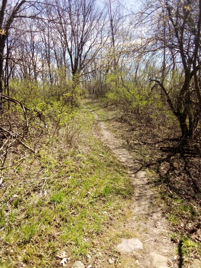
What was not so quick and easy was making QSOs! I self-spotted, and CQed for 10 or 15 minutes, then self-spotted again before getting any reply, but when hunters continued to spot me the rate improved. After I logged 28 the calls tapered off, and after a few more contacts I called and spotted QRT. Taking it all down only took a few more minutes, and then I had the idea of taking a hike on this segment of the Ice Age Trail!
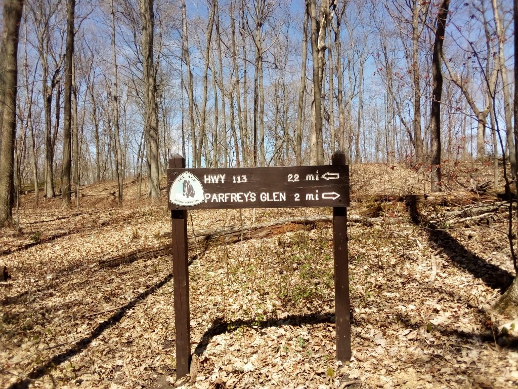
I decided to hike to Parfrey’s Glen SNA because I have noticed the IAT trailhead there on other occasions, and because it is a really beautiful little jewel of a park as well as one of many examples of the unique geology that characterizes the Driftless Area. Hiking both ways took longer than expected, but it did a world of good for both body and mind!
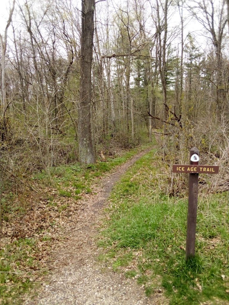
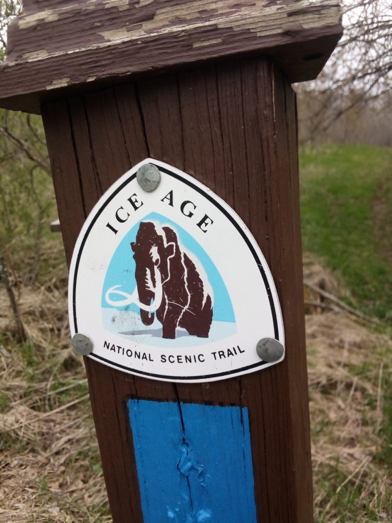
The Ice Age Trail is hundreds of miles long and entirely within Wisconsin, but consists of many segments that are not always physically connected. The POTA map shows the IAT, K-4238 as located up around Waupaca, which must have been the site of the first activation, but it is equally present in many other locations across the state, like the Sauk Point segment within Devil’s Lake SP. I am looking forward to activating other segments for twofers (& more) as opportunities arise!
Thanks for visiting driftlessqrp.com! Come back soon and see what else is new!